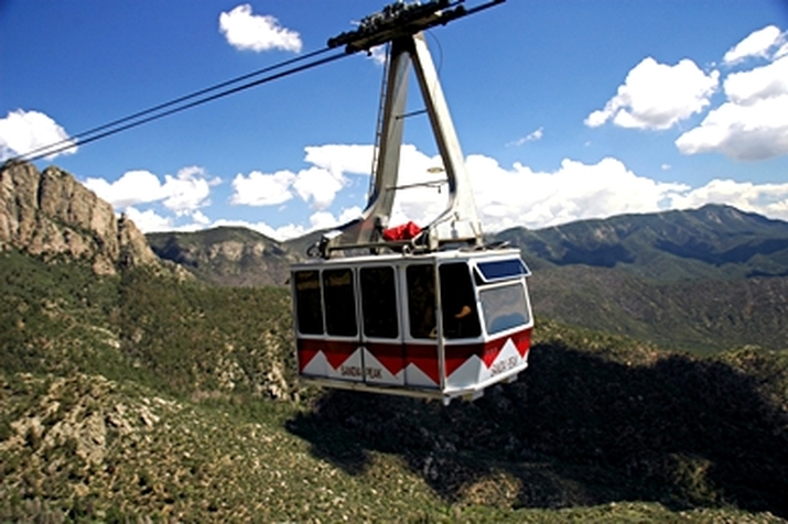
 SANDIA PEAK TRAM, ALBUQUERQUE, NEW MEXICO (courtesy of Family Vacation Critic)
 The Sandia Mountains are located east of Albuquerque and largely within the Cibola National Forest. Just a bit of fun trivial for you - the word Sandia means watermelon in Spanish. Many believe that this name was given because of the reddish color of the mountains at sunset. However, the name might have also been derived from the way the mounts look from the west, with the profile of the mountains possessing a ridge with a thin zone of green conifers near the top, resembling the "rind" of the watermelon. Of course, there can be a third explanation to the name which might be the result of the Spaniards thinking the squash growing at the base of the mountains were watermelon. Whatever the reason for its name, this beautiful mountain range is one of the top spots in Albuquerque and one that we plan to visit during our road trip in October.
I'm going to be blunt here - I am not sure I will be up to the challenge of actually riding this tramway. Tanya asked me if I was afraid of heights, and I told her "No, I'm afraid of falling." lol My "baby" cousin has moved beyond her older cousin in her fearlessness. I will keep an open mind, however, and play it by ear when we get to the mountain.
So here are some of facts about the Tramway:
* A trip up the mountain takes fifteen minutes to ascend 3,819 ft
* The normal operating speed of the tram is 12 miles per hour
* Approximately four "flights" leave every hour from the base and top departure stations.
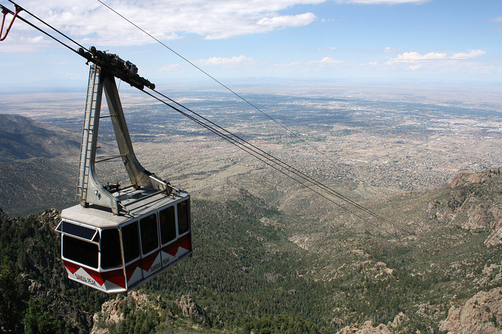
* The view from the tram includes all of Albuquerque and roughly 11,000 square miles of the New Mexico countryside.
Sounds like a wonderful way to "see" New Mexico! There are a number of activities to partake in once you reach the top. These include a number of trails for riding and backpacking and nature hiking. In the summer, 26 biking trails are available and in wintertime, skiing is possible. I'm not sure if we will be engaging in any of these, traveling with all the kids, but it's good information for future reference.
Join us for Part 10 next Travelin' Tuesday!!
- Elisa


 RSS Feed