
What an amazing road trip we have planned for Spring 2015!!
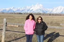
Another Cousins trip!!
Another Cousins trip!!
Trip Itinerary
Day 1
Day 2
Stay in Jackson Hole, Wyoming
Elisa: Rustic Inn at Jackson Hole Inn & Spa Creekside
Tanya:
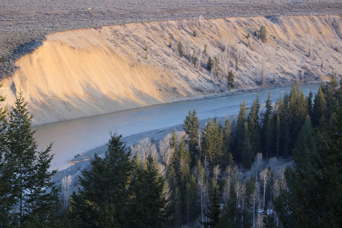
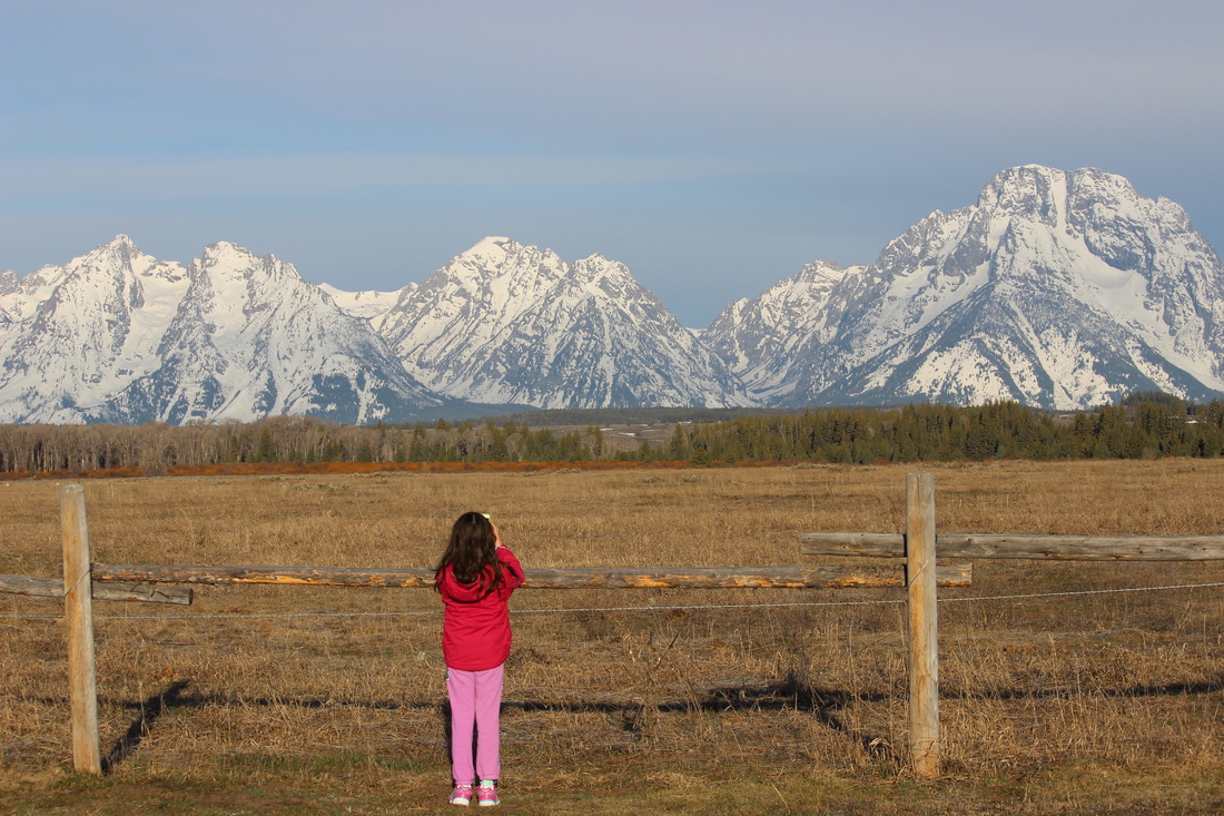
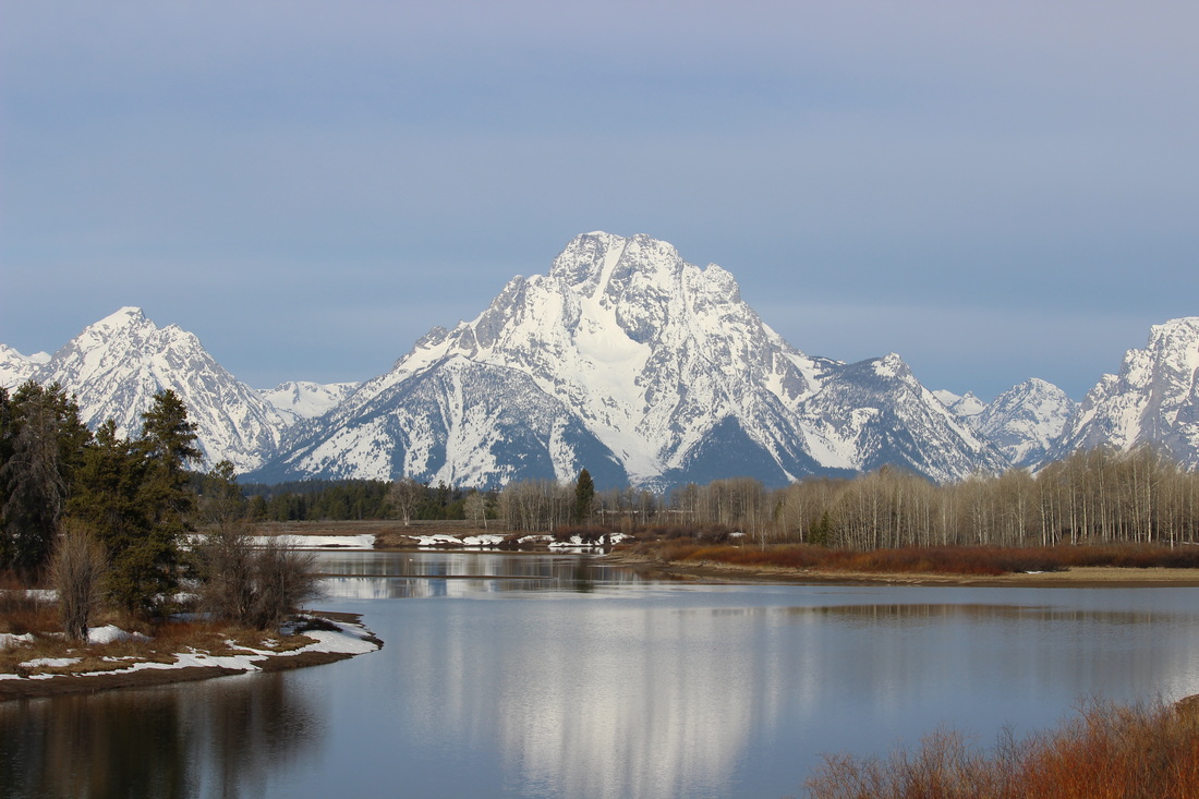
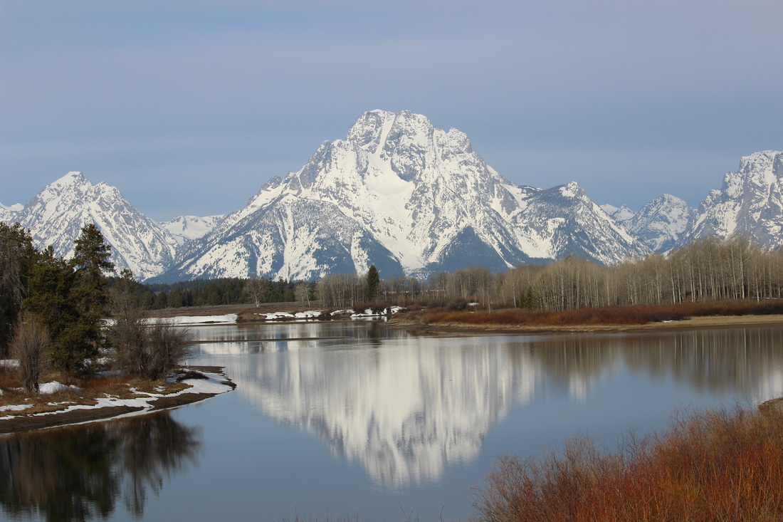
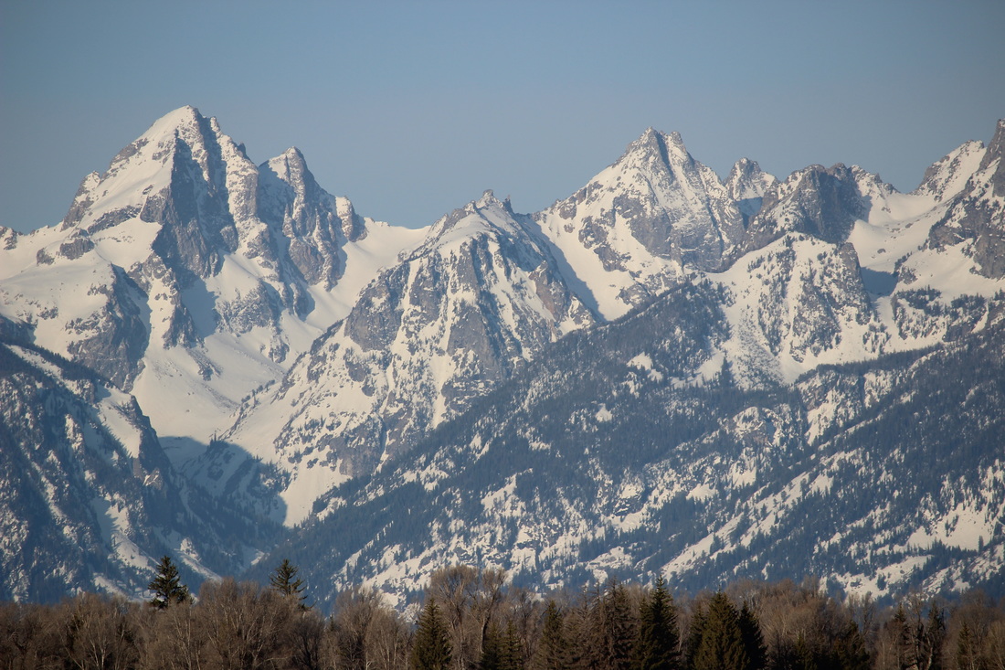
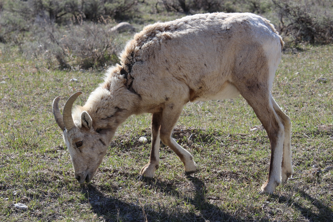
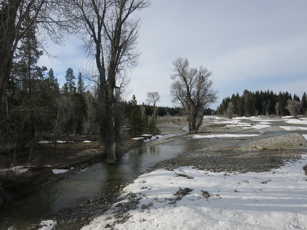
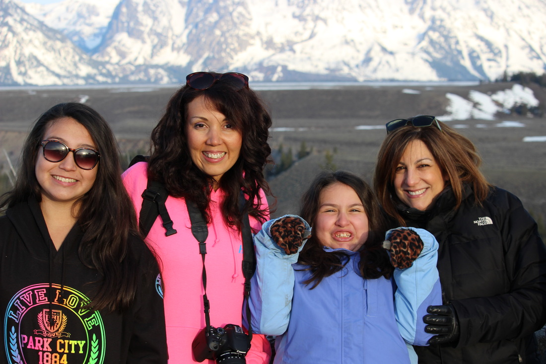
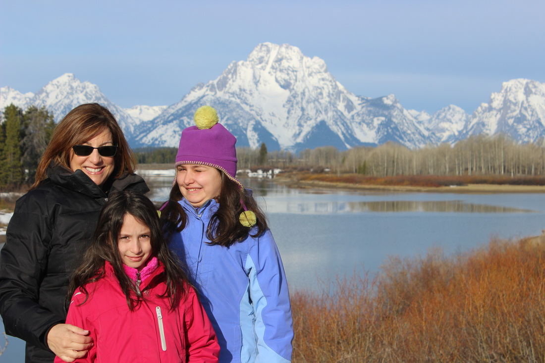
Sights: Grand Teton National Park
Elisa: Rustic Inn at Jackson Hole Inn & Spa Creekside
Tanya:
Sights: Grand Teton National Park
Day 3
Stay in West Yellowstone
Elisa & Tanya: Worldmark, West Yellowstone
Elisa & Tanya: Worldmark, West Yellowstone
Day 4
Day 5
Day 6
Day 7
Stay in Jackson Hole
Elisa: Wyoming Inn of Jackson Hole
Elisa: Wyoming Inn of Jackson Hole
Day 8
Depart Jackson Hole

|
|
|
|
|
|
Tanya's Mode of Travel: Decided to do a road trip and to add Portland to the trip!
Tanya's Car Rental: DONE Elisa's Air Ticket: DONE Elisa's Car Rental: DONE |
Jackson Hole: Booked
Hotel West Yellowstone: Booked Condo |
Restaurants & Dining ExperiencesTBD
|
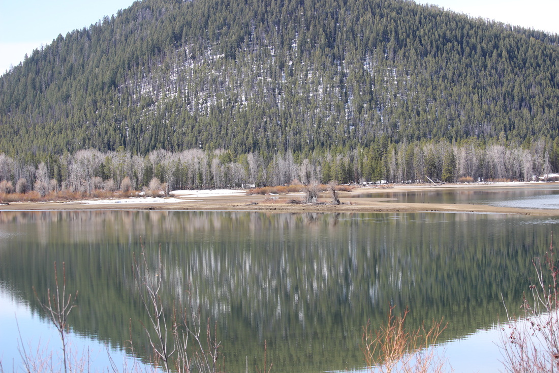
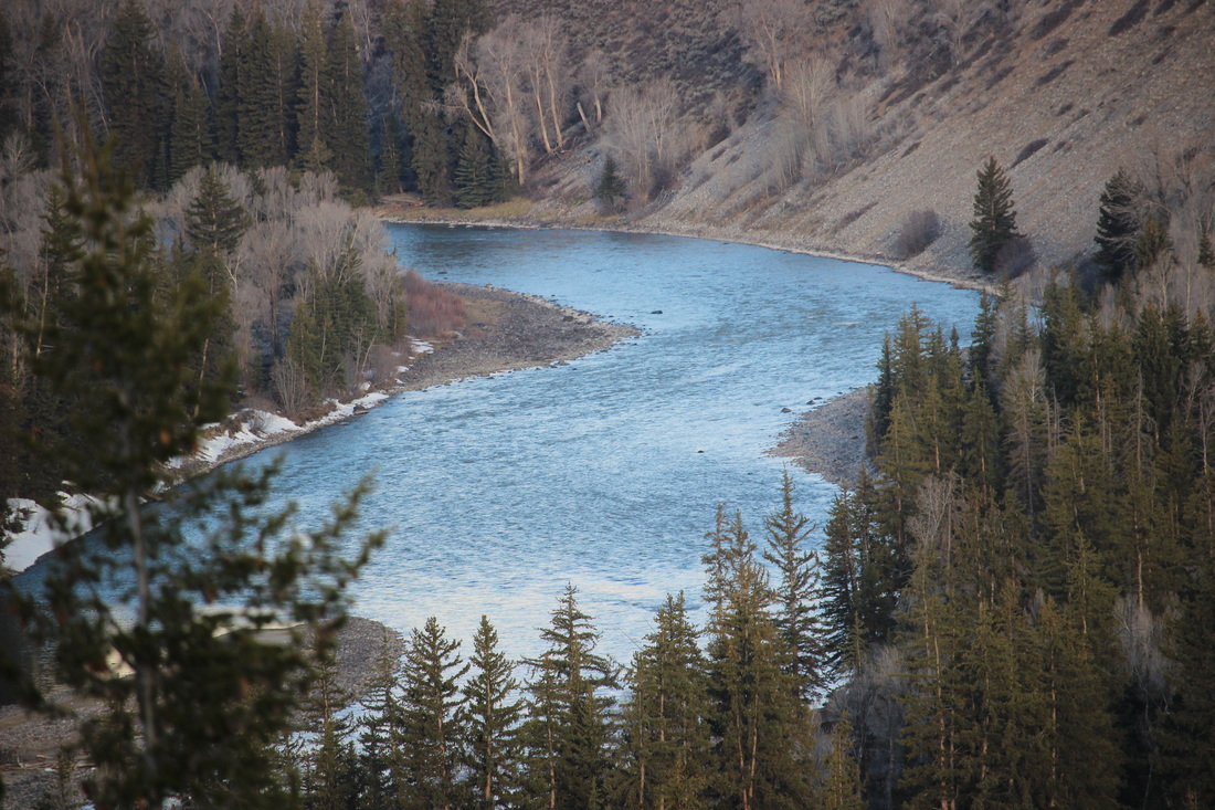
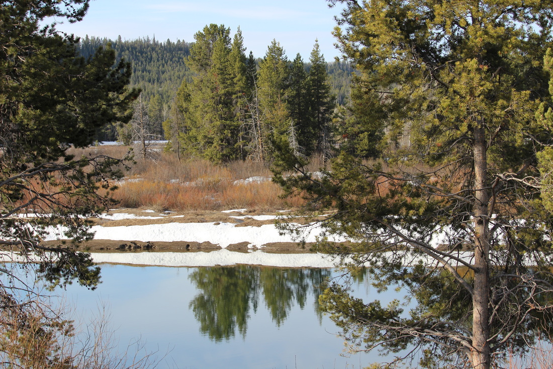
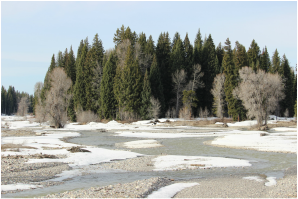
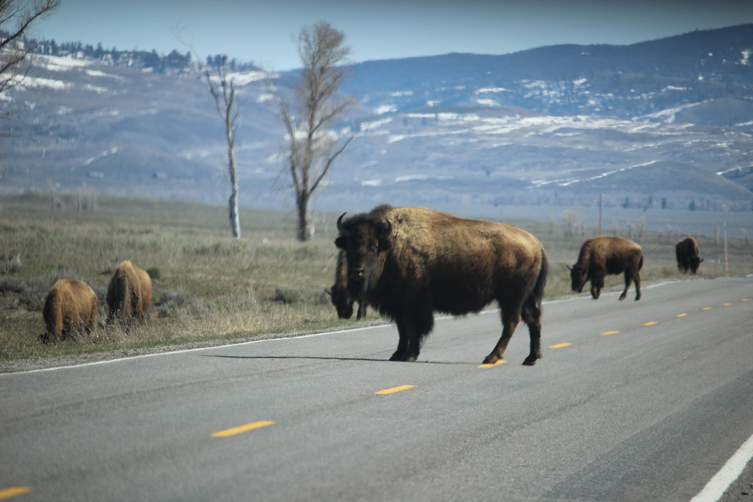
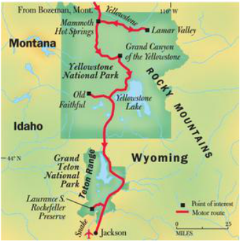
Places We Want to SeeGrand Teton National Park
Here are some of the lovely scenic viewpoints that we'll be stoping at:
|
GRAND TETONS NATIONAL PARK (CLICK IMAGE FOR MORE INFORMATION)
FACTS ABOUT GRAND TETON NATIONAL PARK
GRAND TETON NATIONAL PARK LAND
Total size: 310,000 acres (485 square miles) Dimensions: 45 miles long x 26 miles wide Highest Point: Grand Teton (13,770 feet) Lowest Point: Fish Creek (6,320 feet) GRAND TETON PARK CLIMATE Annual Average Precipitation: 21.6 inches Average Snowfall: 173 inches in valley, 450 inches in mountains Extreme High Temperature: +97 degrees Fahrenheit Extreme Low Temperature; -63 degrees Fahrenheit GRAND TETON NATIONAL PARK HISTORIC DATES: Originally Founded: February 26, 1929 Jackson Hole National Monument: 1943 Original Grand Teton Park and Jackson Hole Nat'l Monument Combined: 1950 John D. Rockefeller, Jr. Memorial Parkway (23,700 acres): 1972 GRAND TETON PARK WILDLIFE 17 species of carnivores (including grizzly bears and wolves) 22 species of rodents 6 species of hoofed animals 4 species of reptiles 6 species of amphibians 3 species of rabbits/hares 6 species of bats 16 species of fish 300+ species of birds 900+ species of flowering plants 7 species of conifer trees GRAND TETON PARK ENTRANCES Number of Park Entrances: 4 Moose Entrance (South Entrance on Teton Park Road) Granite Canyon Entrance (on Moose Wilson Road) Moran Junction (Highway 89, Northeast Entrance) Note: The "North Entrance" to Grand Teton Park is usually considered to be at the South Entrance of Yellowstone National Park, as it marks the beginning of the Rockefeller Parkway heading into Grand Teton Park. GRAND TETON PARK ROADS Miles of paved roads: 152 miles Miles of unpaved roads: 65 miles GRAND TETON HIKING TRAILS Miles of hiking trails: 242 miles TETON MOUNTAIN RANGE Active Fault Block Mountain Range Youngest Mountain Range in the Rockies 40 miles long x 8 miles wide Highest Peak: Grand Teton (13,770 feet) Number of peaks over 12,000 feet: 8 GRAND TETON PARK LAKES Largest lake: Jackson Lake (25,540 acres, 15 miles x 5 miles) Maximum depth of Jackson Lake: 438 feet Number of moraine lakes: 7 (Include Jackson Lake, Leigh Lake, String Lake, Jenny Lake, Bradley Lake, Taggart Lake, Phelps Lake) Number of alpine lakes: 100+ GRAND TETON PARK'S SNAKE RIVER The Snake River is the largest river in Grand Teton Park. The Snake River Is the headwater of the Columbia River System. Major Tributaries of the Snake River: Pacific Creek, Buffalo Fork, Gros Ventre River GRAND TETON PARK CAMPGROUNDS Total number of campgrounds: 7 Headwaters Campground & RV Sites Lizard Creek Campground Colter Bay Campground Colter Bay RV Park Signal Mountain Campground Jenny Lake Campground (tent only) Gros Ventre Campground GRAND TETON PARK LODGES / CABIN RENTALS Jackson Lake Lodge Signal Mountain Lodge Jenny Lake Lodge Dornans (private) Triangle X Ranch (private) American Alpine Club Climbers' Ranch Colter Bay Cabins Headwaters Lodge & Cabins at Flagg Ranch GRAND TETON PARK VISITOR CENTERS / MUSEUMS Number of Visitor Centers: 5 Craig Thomas Discovery and Visitor Center (located near Moose Junction, south section of park) Colter Bay Visitor Center & Indian Arts Museum (Colter Bay Village, north end of park) Jenny Lake Visitor Center Flagg Ranch Visitor Center Laurance S. Rockefeller Preserve Center |
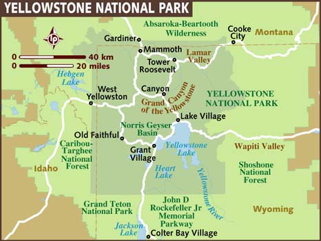
YELLOWSTONE NATIONAL PARK (CLICK IMAGE FOR MORE INFORMATION)
FACTS ABOUT YELLOWSTONE NATIONAL PARK
|